
We list 10 walks near Chester with distance, parking and toilets, from the free city walls to Delamere Forest and the Wirral Way. Checked October 2026.
The walks near Chester most people look for are the city walls, a free two-mile circuit; the riverside Meadows across the Dee from Grosvenor Park; Delamere Forest, with waymarked trails from the visitor centre; and the Sandstone Trail, which starts in Frodsham.
The clocks went back on 25 October, so car parks that lock at dusk now close earlier.
In Chester
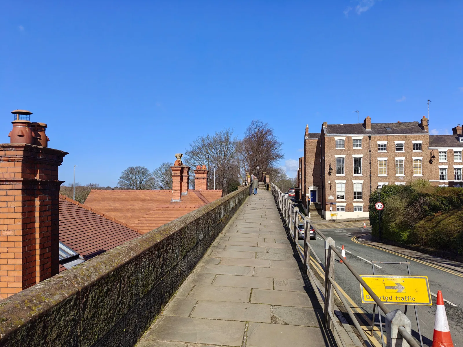
Chester City Walls
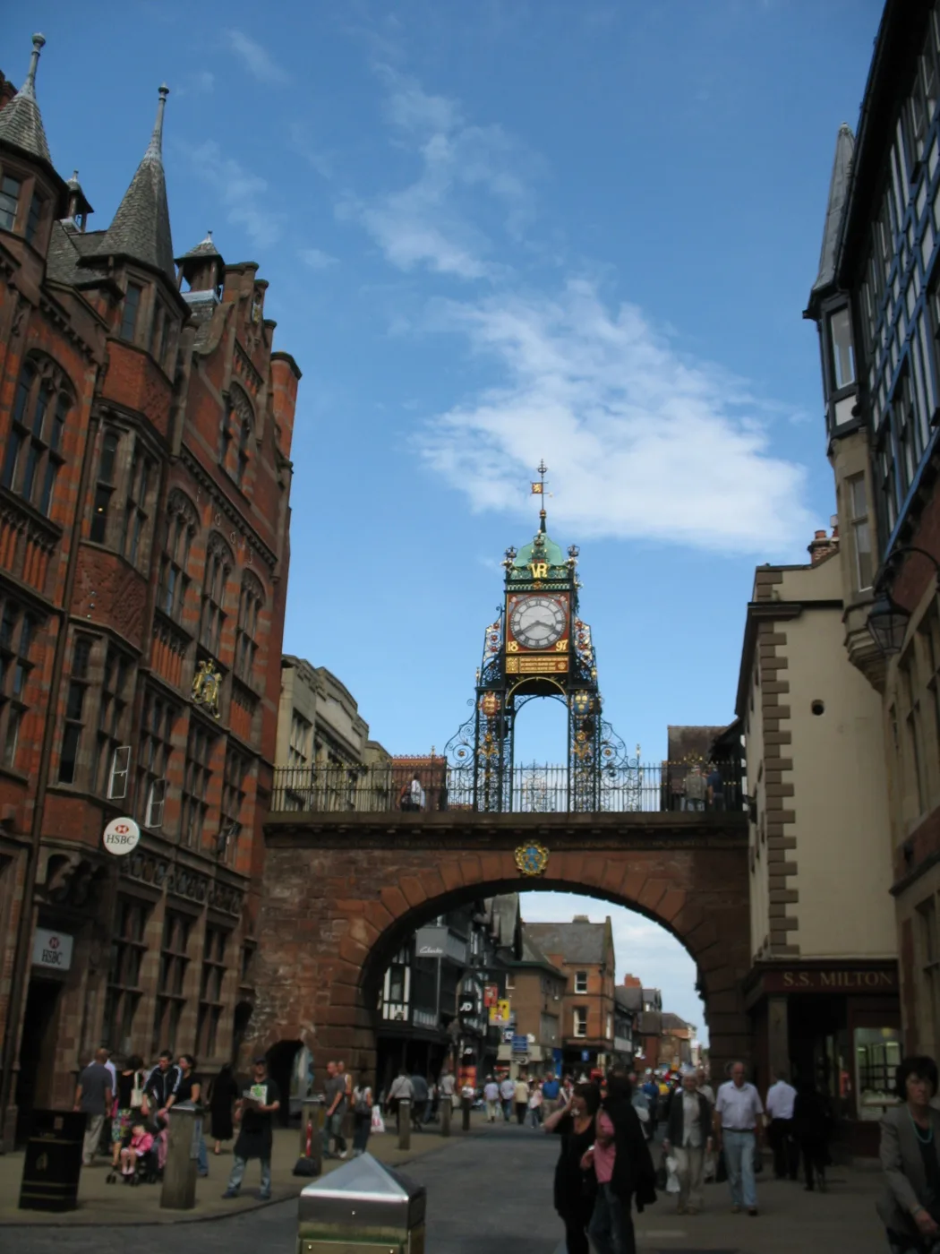
The only complete circuit of town walls left in the country, Cheshire West and Chester Council says. They are about two miles long, first built by the Romans nearly 2,000 years ago, extended in the 10th century and rebuilt by the Normans into a full circuit in the 12th; from the 18th century they became a fashionable walk. There is no charge and they are open all year round. Visit Chester puts the full loop at around 45 minutes. A section by the Eastgate Clock collapsed in 2020; the council’s FAQ says a temporary walkway keeps the full circuit open while repairs continue. The walkway is reached by steps at the gates, and the council added handrails at the Watergate in 2022.
The Meadows and Grosvenor Park, by the Dee
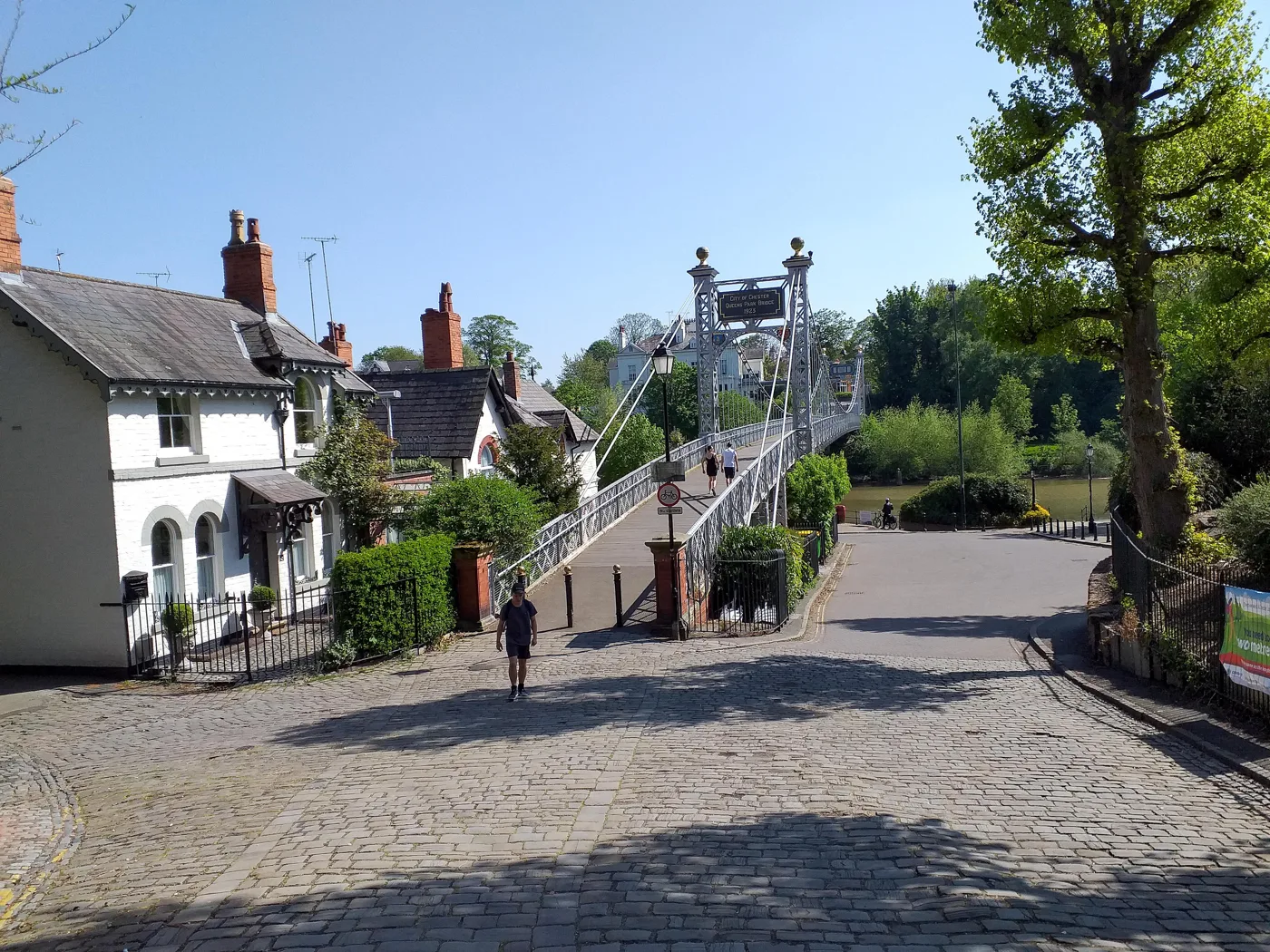
A patch of grassland and wetland on the south bank of the Dee, opposite Grosvenor Park. The council’s page lists four ways in, including a footpath by the Queen’s Park suspension bridge and the main entrance on Lower Park Road. The ground is reasonably level and suitable for pushchairs and wheelchairs, but there are no sealed paths, and cattle graze it in summer. There is no official parking. The Meadows are a flood plain, and the route site Walkingworld warns they can be under water after heavy rain. Grosvenor Park, over the bridge, opens 8am to 6pm from 1 November, the council says. Lower Park Road, CH4 7BB.
Millennium Greenway
An old railway line from Mickle Trafford, east of the city, through Chester to the wharf at Connah’s Quay. The Walk Wheel Cycle Trust, formerly Sustrans, which looks after it as part of National Cycle Network route 5, gives the length as 7.4 miles (11.9km), all traffic-free and all asphalt, and fairly flat; it estimates two and a half hours to walk the whole way. Because it is linear, most people walk a stretch and turn back. It is shared with cyclists.
Delamere Forest and the Sandstone Ridge
Delamere Forest, Linmere
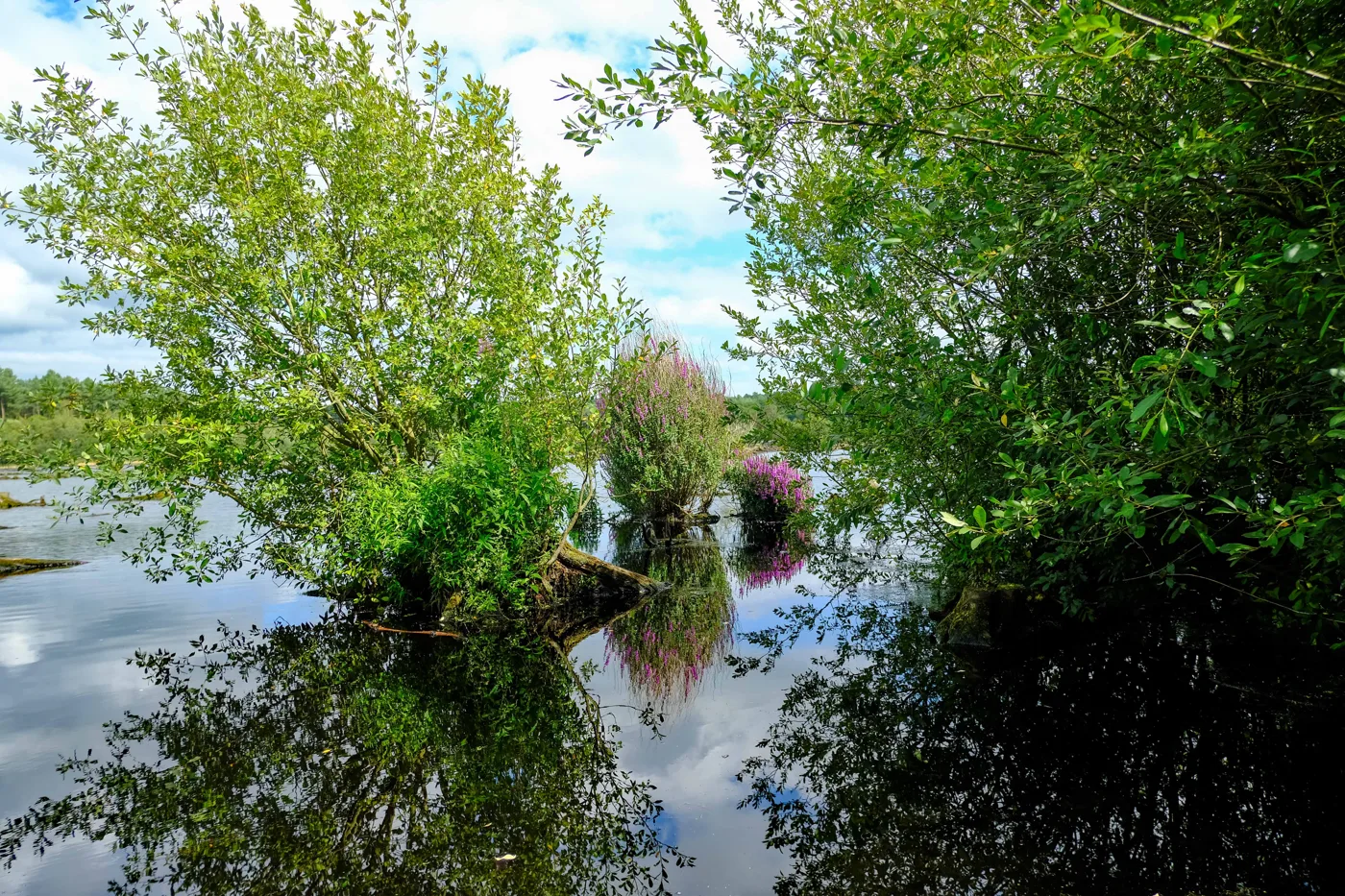
Woodland run by Forestry England, is open every day except Christmas Day. Two waymarked loops start from the café by the visitor centre: the Linmere trail, 3.4km (2 miles), graded Easy Access with turquoise markers past Doolittle Moss; and the Blakemere trail, 5km (3 miles) with yellow markers around Blakemere Moss, allowing up to two hours. Both suit all-terrain mobility scooters, which can be hired. There are toilets, a Changing Places facility and a café, and dogs are allowed. Parking at the visitor centre is £4 for an hour to £12.50 for over three, cashless; car parks close at 5pm in winter. Arrive by train to Delamere station, bus or bike and it is free. Linmere, Delamere, CW8 2HZ.
The Sandstone Trail from Frodsham
A 34-mile (55km) path along the sandstone ridge from Frodsham to Whitchurch, the council says. The trail’s own site suggests two or three days for the whole route, which passes hillforts, Delamere Forest and two castles, and lists shorter circular walks from it. The northern section starts in Frodsham town centre with a steep climb to the war memorial on Overton Hill, with views over the Mersey estuary. Further south it passes Beeston Castle, which English Heritage opens daily from 10am to 4pm, last entry 3.30pm; admission is charged. Main Street, Frodsham, WA6.
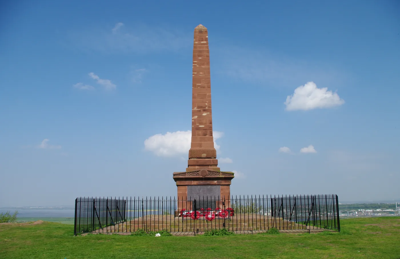
Helsby Quarry and Helsby Hill
A former 19th-century quarry, later a tip, reclaimed in the 1980s and a Local Nature Reserve since 2001, with a Green Flag award. The council’s page describes a path through hazel coppice to a meadow popular with dog walkers, sandstone rock faces laid down some 240 million years ago, and a rock tunnel that once carried a tramway taking stone to Ince pier. Main paths are surfaced but have numerous steps; the north-eastern loop suits assisted wheelchair access. From the car park, a signposted ten-minute climb leads to the top of Helsby Hill, managed by the National Trust, with views to the Welsh mountains. Alvanley Road, Helsby, WA6 9PX.
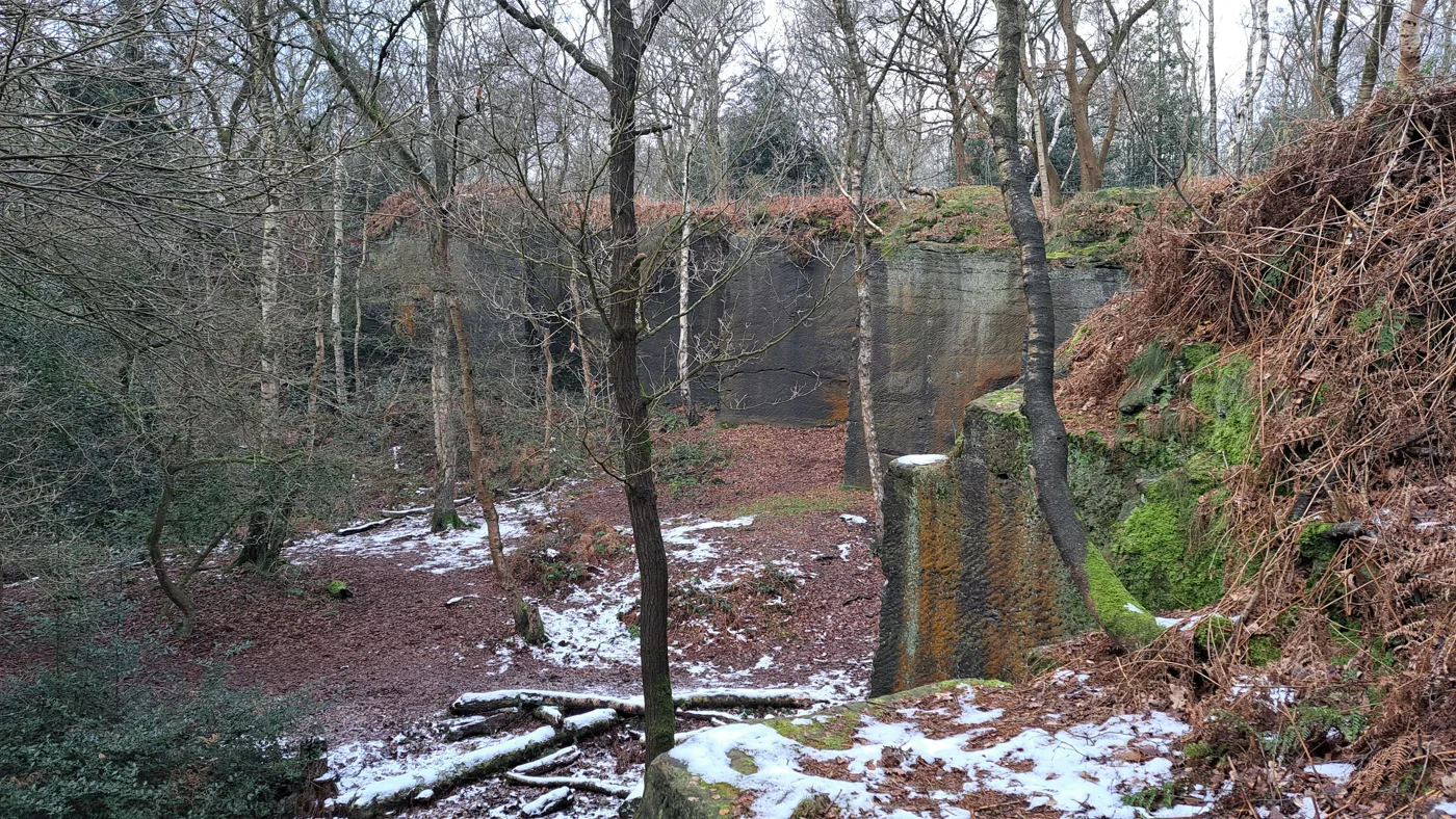
Little Budworth Country Park
Woodland around a rare patch of lowland heath, ponds and boggy mires near Oulton Park. The council’s page describes the Heathland Trail, a 2.7km (1.5-mile) waymarked loop that is mostly flat, and says the heath is at its best in autumn. There are toilets in the Coach Road car park. The council points to pubs in Little Budworth, Eaton and Cotebrook, and a coffee shop in Cotebrook, for food afterwards. By car, follow the signs for Oulton Park from the A49 or A54. Coach Road, Little Budworth, CW6.
Northwich and Winsford
Marbury Country Park and Anderton Nature Park
Two linked parks in the Northwich Woodlands, 350 hectares of reclaimed land with surfaced paths. Marbury, the former Smith-Barry estate beside Budworth Mere, keeps its lime avenues and arboretum; the hall, a prisoner of war camp in the war, was demolished in the 1970s. The council says it has routes accessible to all as well as harder ones unsuitable for pushchairs; a season parking ticket costs £31. Anderton Nature Park, beside the 1875 Anderton Boat Lift, has a wildflower trail, pay and display parking and toilets open in high season only. Both are reachable on foot from Northwich via Carey Park. Marbury Road, Comberbach, CW9 6AT.
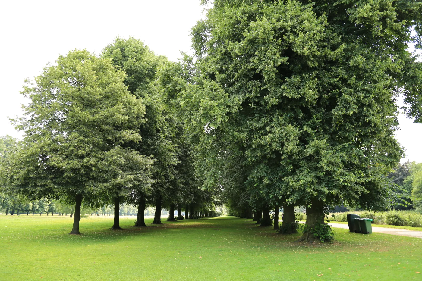
Whitegate Way
The old railway that carried salt from Winsford to join the Chester to Manchester line at Cuddington, now a path running six miles (10km) between the two. The council’s page calls it easy walking for all ages, through wooded cuttings and along embankments with views across the county. A fully accessible section for wheelchairs and pushchairs starts from Whitegate Station, the line’s only station, now a picnic area with a car park, toilets and the Station House Community Cafe. That car park is signed off the A54 south of the A556 and is locked in the evening. There is another car park on Bradford Road, Winsford, and trains to Cuddington and Winsford.
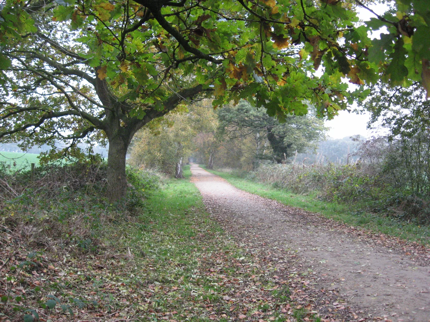
Neston and Parkgate
The Wirral Way and the Parkgate circular
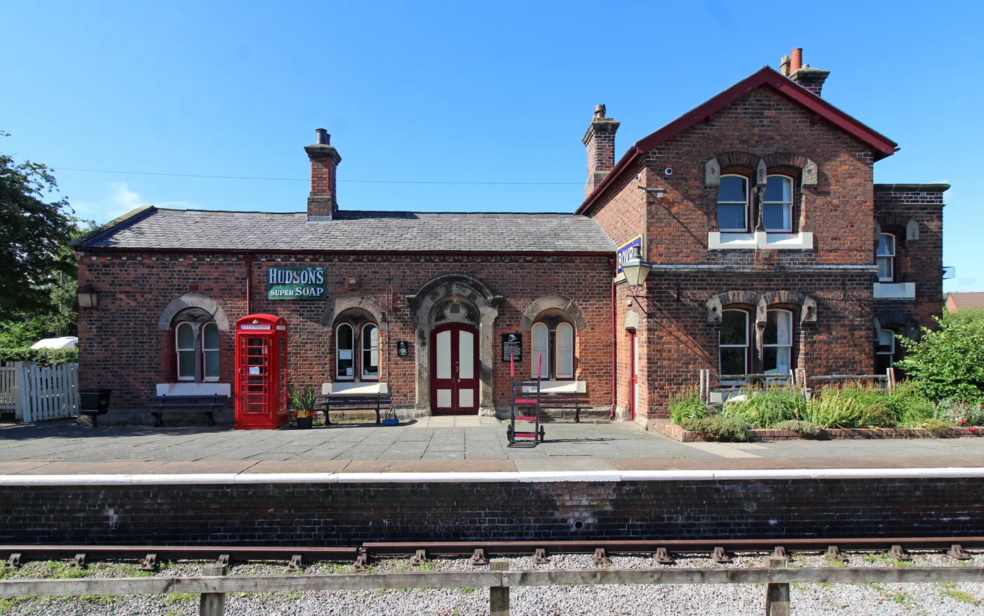
The Wirral Way follows the old Hooton to West Kirby railway for 12 miles (19km). The council’s page starts at Hadlow Road Station near Willaston, its waiting room and ticket office restored to look as it might have in the 1950s, with toilets. The path runs through a hand-cut rock cutting in Neston and over the Millennium Bridge to the old Parkgate station, with views across the Dee estuary. For something shorter, the council lists the Parkgate Circular, a very easy 5km (3-mile) route from the Old Baths car park. Car parks are locked at night and have a 2.2-metre height barrier.
How we chose
These are the walks people near Chester search for: the city walls and the river, the forest and the ridge, and the old railway lines that make easy, level routes. The facts come from Cheshire West and Chester Council’s park and countryside pages, Forestry England, the Walk Wheel Cycle Trust, the Sandstone Trail’s own site, English Heritage and Visit Chester. Paths change with the weather, so check the operator’s page before you set off. Run one of these places, or spot something that has changed? Email newsdesk@chesteronline.co.uk.
For more ideas, see things to do in Chester, what’s on in Chester this month, parking in Chester, our guides to Chester playgrounds, pubs for a drink afterwards and Sunday roasts, or find a cafe in our Chester business directory.
Frequently asked questions
How long does it take to walk around Chester’s city walls?
The circuit is about two miles, and Visit Chester says the full loop takes around 45 minutes. Cheshire West and Chester Council says there is no charge and the walls are open all year round. A temporary walkway beside the Eastgate Clock, built while the council repairs the section that collapsed in 2020, keeps the full circuit open.
Which walks near Chester are flat and suitable for pushchairs or wheelchairs?
The Millennium Greenway is fully traffic-free and fully asphalt, according to the Walk Wheel Cycle Trust. Delamere Forest’s Linmere trail is graded Easy Access, and Forestry England says both Linmere and Blakemere suit all-terrain mobility scooters. The council says The Meadows are suitable for pushchairs and wheelchairs, and the Whitegate Way has a fully accessible section from Whitegate Station.
How much does it cost to park at Delamere Forest?
Forestry England charges £4 for up to an hour and £12.50 for over three hours at the Visitor Centre and Treetops car parks, and £3.80 to £9.50 at Whitefield. Payment is cashless. Visitors who arrive by train, bus or bike get in free, and Delamere station is a short walk from the forest.
Have your say